Kāleke Mandi na mape
Kāleke Mandi (Punjab
) , Pakistan na mape.
GPS súradnice: 31° 58' 37.8" Sever,
73° 36' 9.3" Východ.
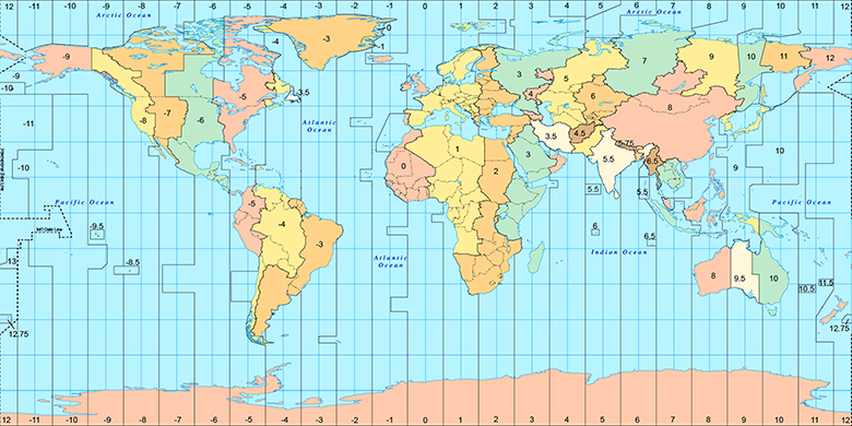
» Časové pásmo, » politická mapa, » natural mapa,
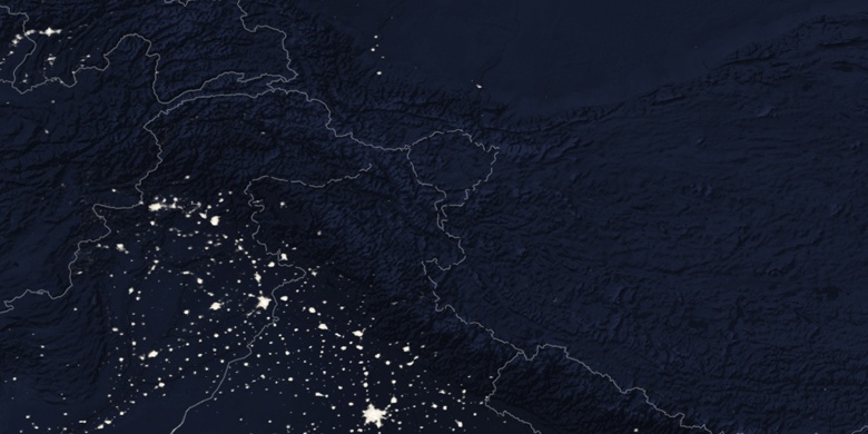
» Kāleke Mandi na Nočnej mape & » naGoogle mape.
 Doba
DobaKāleke Mandi na časovej zóny mape:
Časové pásmo: GMT+05:00 = PKT

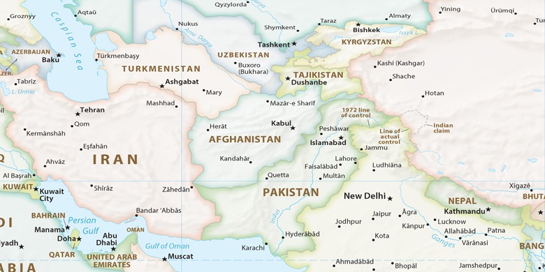
Pakistan, Kāleke Mandi politická mapa

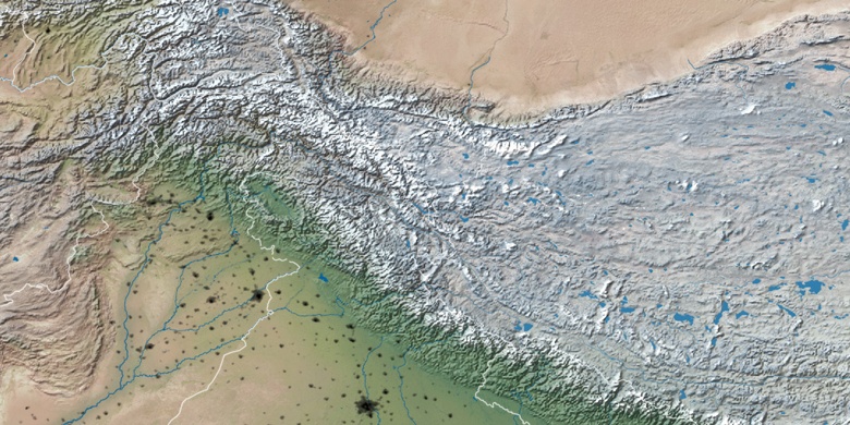
natural mapa
Šírka Dĺžka: 31.97717, 73.60259

Kāleke Mandi
Kāleke Mandi na Nočnej mape