Bad Liebenwerda na mape
Bad Liebenwerda (Brandenburg) , Nemecko na mape.
GPS súradnice: 51° 31' 5.7" Sever,
13° 23' 40.5" Východ.
» Časové pásmo, » politická mapa, » natural mapa,
» Bad Liebenwerda na Nočnej mape & » naGoogle mape.
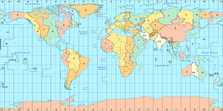
 Doba
DobaBad Liebenwerda na časovej zóny mape:
Časové pásmo: GMT+02:00 = CEST (±1 DST)

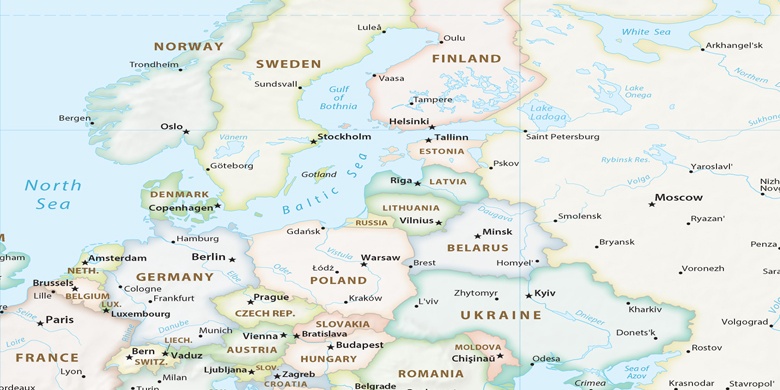
Nemecko, Bad Liebenwerda politická mapa

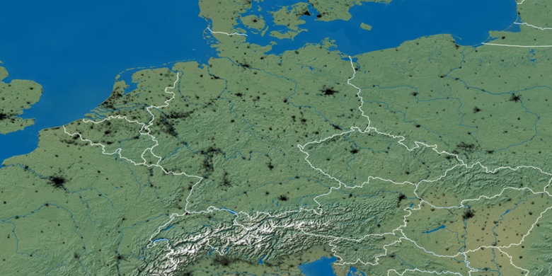
natural mapa
Šírka Dĺžka: 51.51826, 13.39459

Bad Liebenwerda
Bad Liebenwerda na Nočnej mape