San Vicente Tancuayalab na mape
San Vicente Tancuayalab (San Luis Potosí) , Mexiko na mape.
GPS súradnice: 21° 43' 6" Sever,
98° 35' 16" Západ.
» Časové pásmo, » politická mapa, » natural mapa,
» San Vicente Tancuayalab na Nočnej mape & » naGoogle mape.
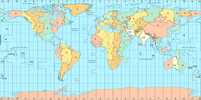
 Doba
DobaSan Vicente Tancuayalab na časovej zóny mape:
Časové pásmo: GMT-06:00 = CST

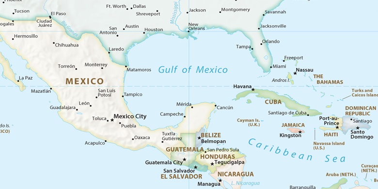
Mexiko, San Vicente Tancuayalab politická mapa

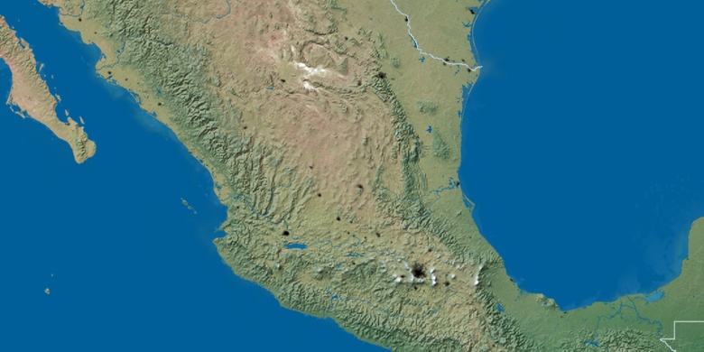
natural mapa
Šírka Dĺžka: 21.71833, -98.58778

San Vicente Tancuayalab
San Vicente Tancuayalab na Nočnej mape