Tirumullaivāsal na mape
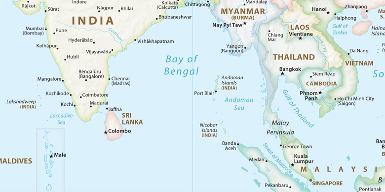
Tirumullaivāsal (Tamil Nadu) , India na mape.
GPS súradnice: 11° 14' 24.9" Sever,
79° 50' 16.8" Východ.
» Časové pásmo, » politická mapa, » natural mapa,
» Tirumullaivāsal na Nočnej mape & » naGoogle mape.
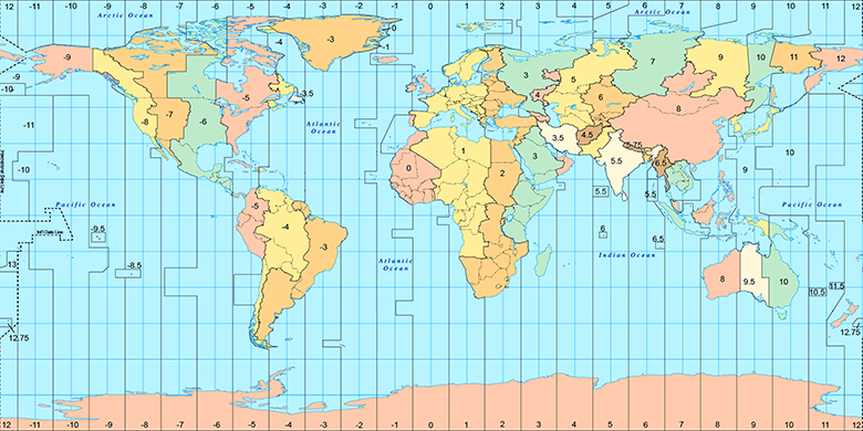
 Doba
DobaTirumullaivāsal na časovej zóny mape:
Časové pásmo: GMT+05:30 = IST

India, Tirumullaivāsal politická mapa

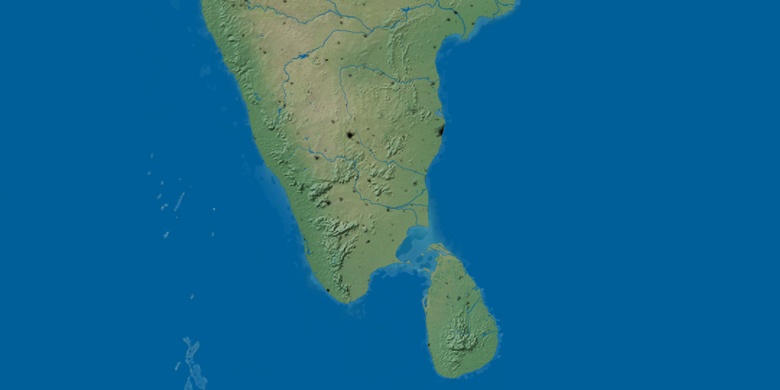
natural mapa
Šírka Dĺžka: 11.24025, 79.83801

Tirumullaivāsal
Tirumullaivāsal na Nočnej mape