Agana Heights Village na mape
Agana Heights Village (Agana Heights
) , Guam na mape.
GPS súradnice: 13° 27' 56.1" Sever,
144° 44' 52.6" Východ.
» Časové pásmo, » politická mapa, » natural mapa,
» Agana Heights Village na Nočnej mape & » naGoogle mape.
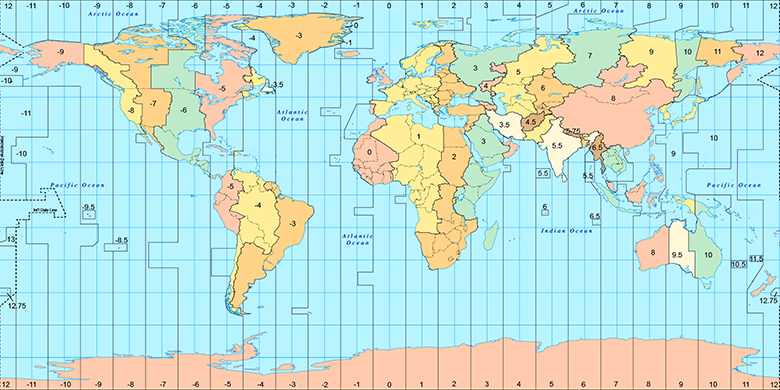
 Doba
DobaAgana Heights Village na časovej zóny mape:
Časové pásmo: GMT+10:00 = ChST

Guam, Agana Heights Village politická mapa
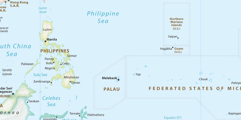

natural mapa
Šírka Dĺžka: 13.46559, 144.74795


Agana Heights Village
Agana Heights Village na Nočnej mape