Saint-Pierre-lès-Nemours na mape
Saint-Pierre-lès-Nemours (Île-de-France) , Francúzsko na mape.
GPS súradnice: 48° 16' 2.4" Sever,
2° 40' 46.8" Východ.
» Časové pásmo, » politická mapa, » natural mapa,
» Saint-Pierre-lès-Nemours na Nočnej mape & » naGoogle mape.
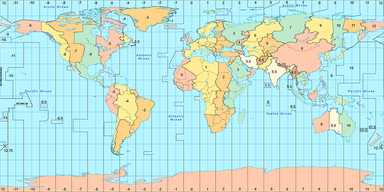
 Doba
DobaSaint-Pierre-lès-Nemours na časovej zóny mape:
Časové pásmo: GMT+02:00 = CEST (±1 DST)

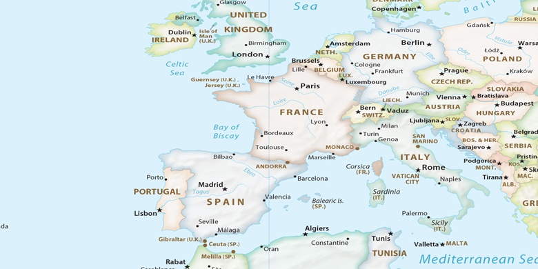
Francúzsko, Saint-Pierre-lès-Nemours politická mapa

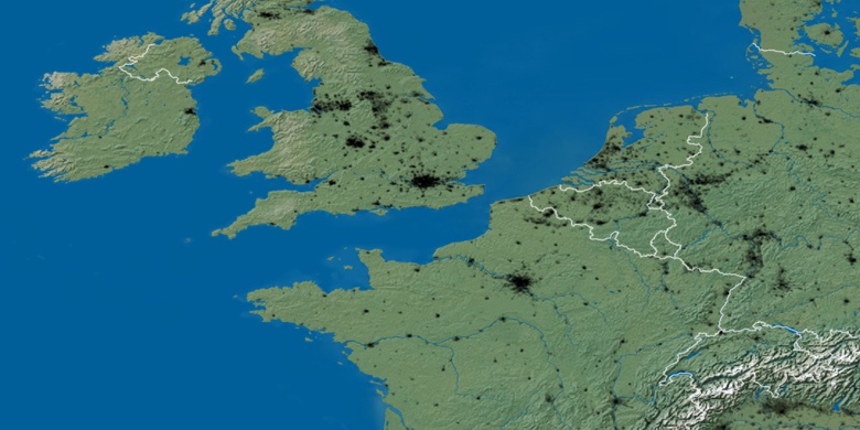
natural mapa
Šírka Dĺžka: 48.26733, 2.67966

Saint-Pierre-lès-Nemours
Saint-Pierre-lès-Nemours na Nočnej mape