Santa Ines West na mape
Santa Ines West (Central Luzon) , Filipíny na mape.
GPS súradnice: 15° 33' 25" Sever,
120° 27' 52.1" Východ.
» Časové pásmo, » politická mapa, » natural mapa,
» Santa Ines West na Nočnej mape & » naGoogle mape.
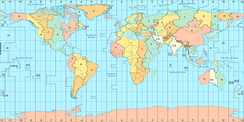
 Doba
DobaSanta Ines West na časovej zóny mape:
Časové pásmo: GMT+08:00 = PST

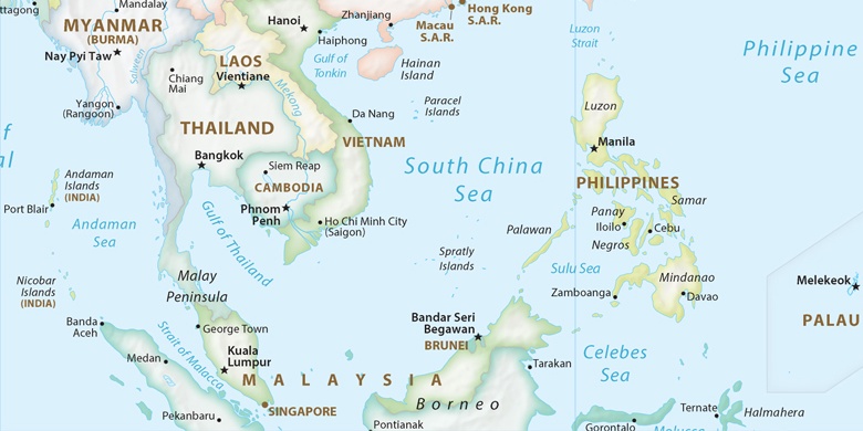
Filipíny, Santa Ines West politická mapa

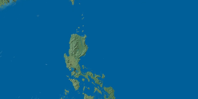
natural mapa
Šírka Dĺžka: 15.55694, 120.46448

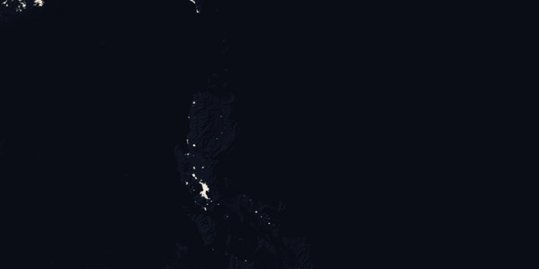
Santa Ines West
Santa Ines West na Nočnej mape